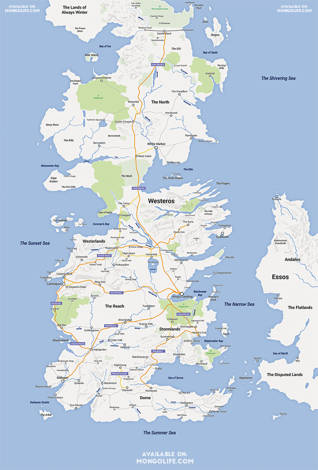
A Redditor has gone to an awful lot of effort to make a pretty brilliant Google Maps version of Westeros, the land of the Iron Throne in Game of Thrones.
The incredibly popular HBO series, adapted from the well-received book series by George R R Martin, has become the internet’s favourite TV show.
And now some crafty watchers from across the globe have gotten into recreating what they can from a land that sees incestuous monarchs rule over lands littered with weird family dynasties, all behind a frozen wall that keeps the Scots ‘wildlings’ away.
Redditor Selvag made a spoiler-free map of the land, although it’s not interactive, unfortunately.
So you can’t establish how long it would take to cycle from Stormlands to the Western Sea, or trek through Kingswood.
Still, it’s a fine effort, which is now being sold on Etsy in presumably higher definition form.
Of course, if this doesn’t float your raft, there’s always the far more advanced, interactive and painstakingly excellent QuarterMaester.info, which includes some clever spoiler controls so you can follow your favourite murderous scumbag’s every move in the books or on screen.
Click here and say goodbye to the rest of the day.
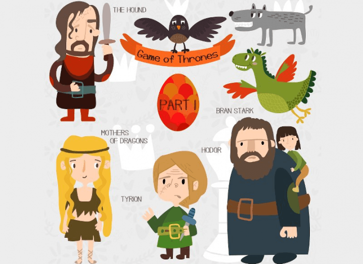
Game of Thrones cartoon, via Shutterstock